|
|
|
|
 |
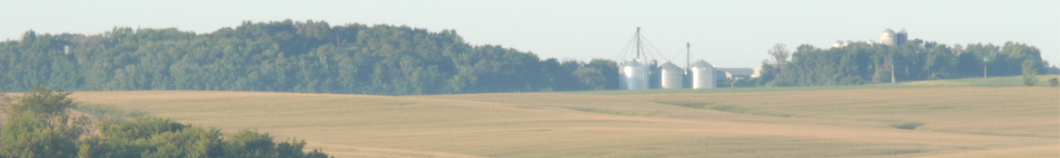
County Forecast for Gowrie , IA |
|
|
| | 031900-
Webster-
Including the city of Fort Dodge
632 AM CDT Fri May 3 2024
..dense fog advisory in effect until 8 am cdt this morning
Today Patchy fog this morning. Mostly sunny. Highs in the lower 70s. South winds around 5 mph, increasing to 10 to 15 mph this afternoon.
Tonight Partly cloudy in the evening, then showers with a chance of thunderstorms after midnight. Locally heavy rainfall possible after midnight. Lows in the upper 40s. Southeast winds 10 to 15 mph. Chance of rain near 100 percent.
Saturday Cloudy with a chance of showers and thunderstorms in the morning, then partly sunny in the afternoon. Highs in the lower 60s. North winds 10 to 15 mph with gusts up to 25 mph. Chance of rain 50 percent.
Saturday night Mostly clear. Lows around 40. North winds 10 to 15 mph, diminishing to around 5 mph after midnight.
Sunday Sunny. Highs in the upper 60s. Northeast winds 5 to 10 mph, becoming southeast in the afternoon.
Sunday night Mostly clear. Lows in the upper 40s.
Monday Partly sunny. A chance of showers in the afternoon. Breezy with highs in the mid 70s. Chance of rain 50 percent.
Monday night A chance of thunderstorms. Showers, breezy with lows in the lower 50s. Chance of rain 90 percent.
Tuesday A chance of showers in the morning. Mostly sunny. Highs in the lower 70s. Chance of rain 30 percent.
Tuesday night Mostly clear in the evening, then becoming partly cloudy. A chance of showers after midnight. Lows in the upper 40s. Chance of rain 30 percent.
Wednesday Sunny. Highs in the lower 70s.
Wednesday night Mostly clear. Lows in the mid 40s.
Thursday Mostly sunny. A chance of showers in the afternoon. Highs in the upper 60s. Chance of rain 30 percent. |
|
|
|
Bryce Anderson – DTN Meteorologist
|
| Storm Continues Through Midwest; New Storm Enters Plains Friday |
Precipitation shifts to the Eastern Corn Belt for Friday with another new system moving into the Plains. » More DTN Weather Commentary |
| Posted at 12:01PM Thu May 2, 2024 CDT |
Click here to get your local weather emailed to you each day.
|